

SKU: Cuav-C-RTK-2HP
45 900 RUB
Срок доставки 12-25 дней
Цена включает 5% НДС
Мин.заказ от 50 тыс.р или 1 оптовая упаковка
Расчет заказа для организаций
Задать вопрос
Способы доставки


Способы оплаты


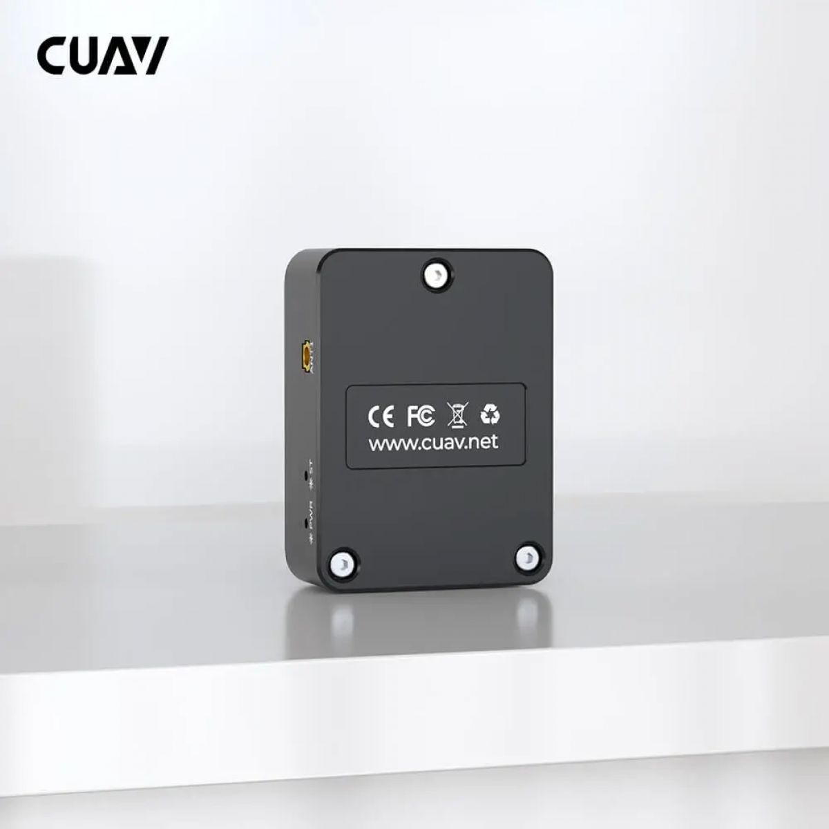
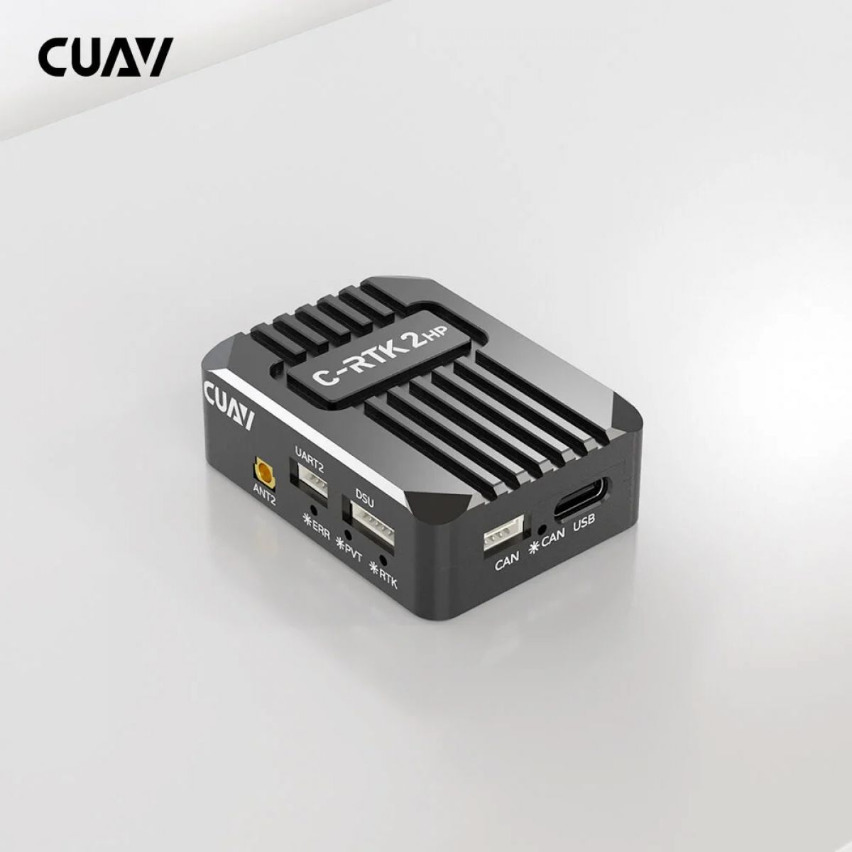
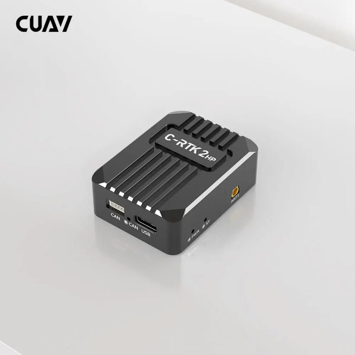
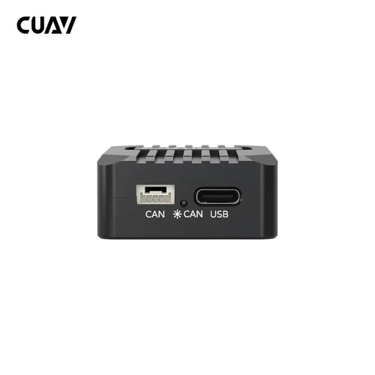
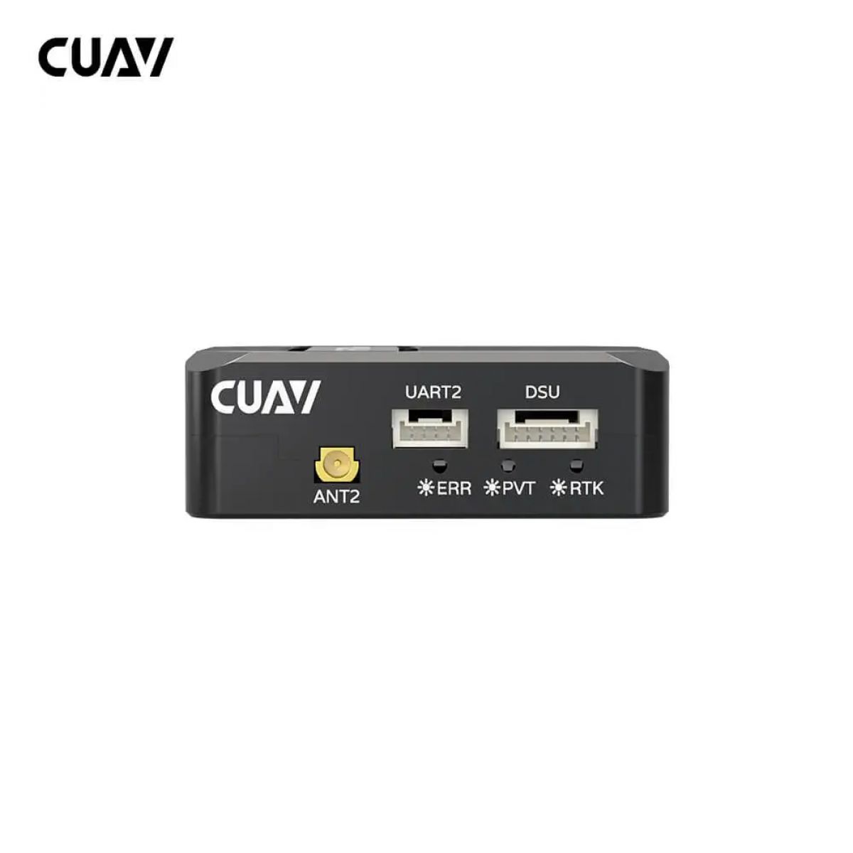
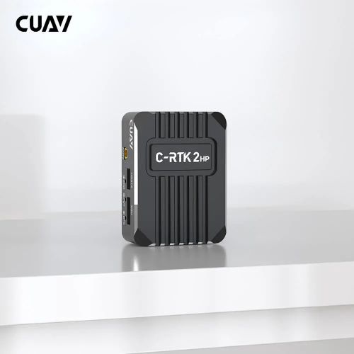
CUAV C-RTK 2HP Dual Antenna for Yaw RTK Module Dual-antenna direction finding. Centimeter-level positioning. Multi-constellation multi-frequency receiver. RM3100 industrial-grade sensor. UAV DroneCAN RTK GNSS. 无人机 DroneCAN 全球卫星定位. C-RTK 2HP All-constellation Multi-frequency Centimeter-Level Positioning Built-in all-constellation multi-frequency satellite receiver, support BeiDou, Galieo, GLONASS, GPS four satellite systems, and support four satellite systems at the same time receive, positioning accuracy plane 0.8cm+1ppm, elevation: 1.5cm+1ppm. UAV DroneCAN RTK GNSS Receiver. 无人机 DroneCAN 全球卫星定位接收机. C-RTK 2HP BeiDou Galieo GLONASS GPS UAV DroneCAN RTK GNSS Performance. 无人机 DroneCAN 全球卫星定位性能. C-RTK 2HP Convergence time is ≈ 18s Number of satellites:28 Fast Positioning Without Waiting Through the all-constellation multi-frequency GNSS signal and the advanced RTK algorithm, the convergence can be completed within 18s and the centimeter level positioning can be realized. Single Module Dual Antenna for Yaw The C-RTK 2HP supports one module, dual antenna to realize unmanned system estimate yaw, replacing the magnetic sensor to achieve a more unmanned system and adapt to complex environments at a lower cost. UAV DroneCAN RTK GNSS Dual Antenna. 无人机 DroneCAN 全球卫星定位双天线定向. C-RTK 2HP UAV DroneCAN RTK GNSS RM3100 Sensor. 无人机 DroneCAN 全球卫星定位 RM3100 磁罗盘磁力计. C-RTK 2HP Built-in Industrial Grade RM3100 Sensor The C-RTK 2HP has an industrial-grade RM3100 sensor that can be installed away from interference and can be used as a reliable redundant backup source. Specifications & Parameters Product Parameters Processor STM32F4 Module type All-constellation Multi-frequency Sensor RM3100 Channels 1408 channels GNSS Systems BDS/GPS/GLONASS/Galileo/QZSS Antenna 1 (main) Frequency Bands BDS: B1I、B2I、B3I GPS: L1C/A、L2P/L2C、L5 GLONASS: L1、L2 Galileo: E1、E5a、E5b QZSS: L1、L2、L5 Antenna 2 Frequency Bands BDS: B1I、B2I、B3I GPS: L1C/A、L2C GLONASS: L1、L2 Galileo: E1、E5b ZSS: L1、L2 Position Accuracy Single point positioning: Horizontal 1.5 m / Elevation: 2.5m DGPS (assisted positioning): Horizontal 0.4M+1PPM / Elevation: 0.8m+1PPM RTK: Horizontal 0.8cm+1PPM / Elevation: 1.5cm+1PPM Max tracked star count Single: 28 + RTK:50 + Positioning speed Cold start <30s / auxiliary start <5s Data refresh rate 5Hz (default); Max 20Hz Data format RTCM3.X Data protocol DroneCAN / NMEA Interface Antenna interface* 2 CAN* 1 UART* 1 DSU* 1 USB* 1 Operating Voltage 4.7~5.2V Operating temperature -20~85℃ Size 50×37×17mm Weight 40g Dimensions chart UAV DroneCAN RTK GNSS Dimension. 无人机 DroneCAN 全球卫星定位尺寸. C-RTK 2HP C-RTK 2HP Videos ArduPilot, Dronecode, and PX4 Long-Term Partners CUAV Tech Inc., Ltd. is a National High-Tech Enterprise and Guangdong Provincial Specialized, Sophisticated, Innovative SME that focuses on open-source unmanned system innovation technologies. It integrates R&D, production, sales, after-sales service, and technical support into a cohesive operation. The company maintains long-term collaborative partnerships with leading open-source organizations such as ArduPilot, Dronecode, and PX4.